
Route PY05 — Technical, Economic and Environmental Feasibility
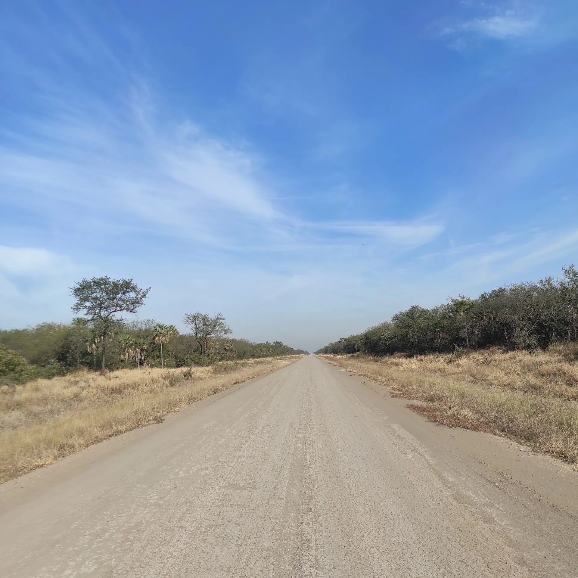
Feasibility study for the upgrade of 179 km of highway in the Paraguayan Chaco, between Pozo Colorado and Fortín Gral. Díaz. Highway geometry, traffic study, pavement design and economic appraisal under SNIP, Paraguay’s national public-investment methodology.
Sectors
Nine sectors, each with delivered projects behind it — and one team that coordinates across them.
Solar & Data Centers
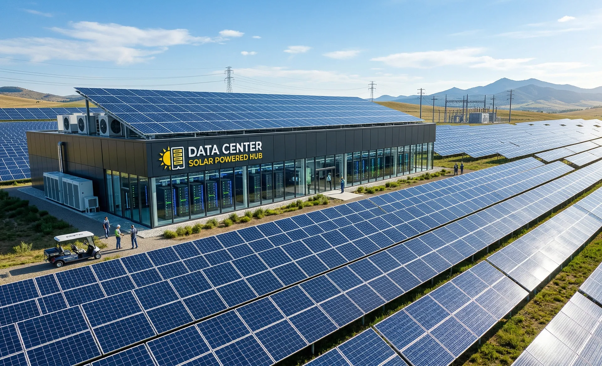
Local engineering partner for solar parks and data centers: site feasibility, power and water screening, civil works, ERNC permitting and construction supervision.
Land Development
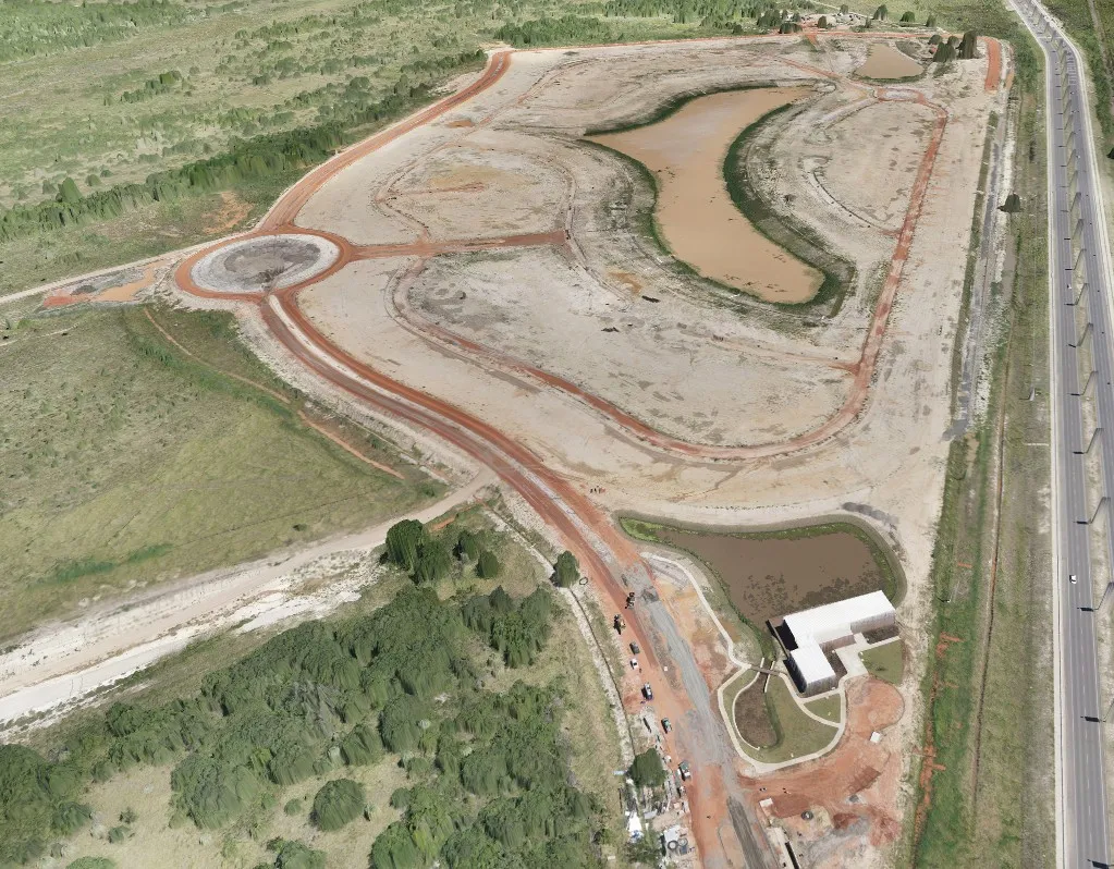
Engineering partner for developers: site feasibility, internal roads, utilities, municipal approvals and construction supervision.
Aerial Survey & Terrain Modeling
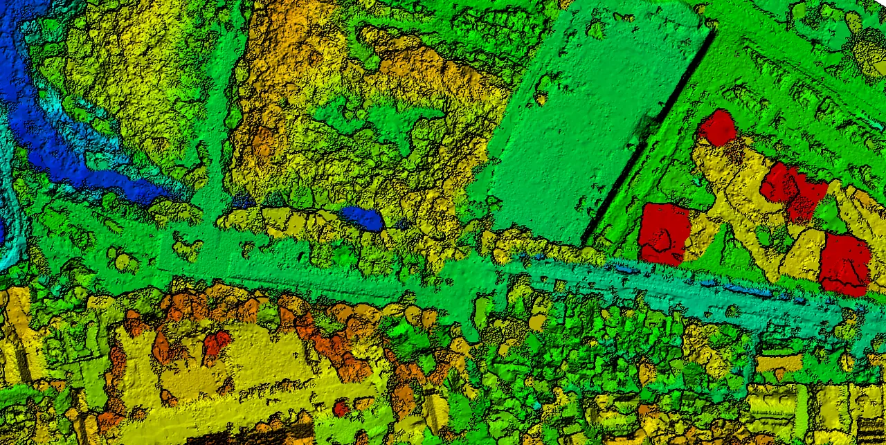
Drone photogrammetry, digital terrain models and earthworks control, georeferenced and traceable to official datums.
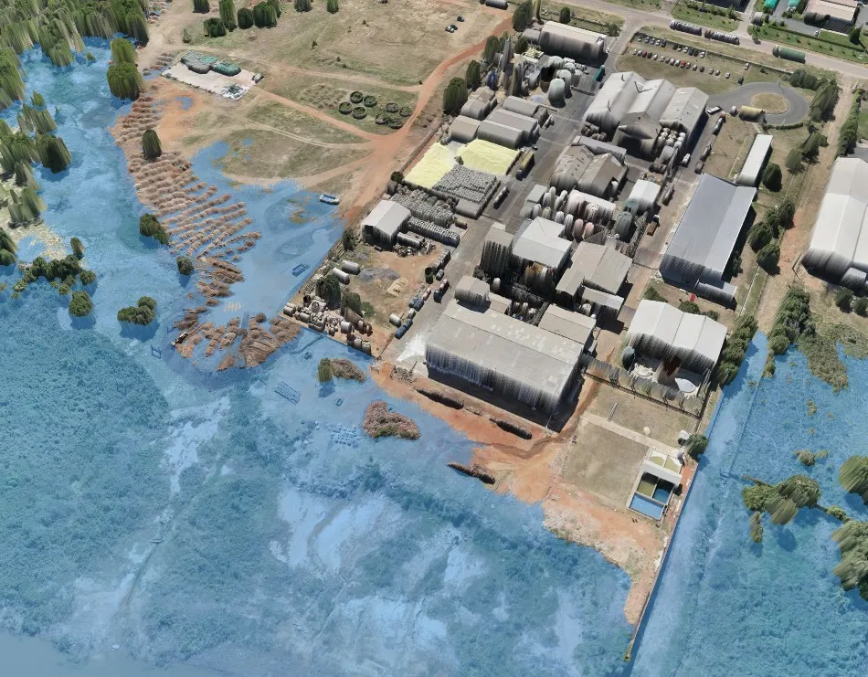
Industrial Plants
Platform design, earthworks, heavy-transport access and construction supervision for industrial facilities.

Roads & Highways
Highway design, technical review, audits and design control. Feasibility studies under Paraguay’s SNIP public-investment code.
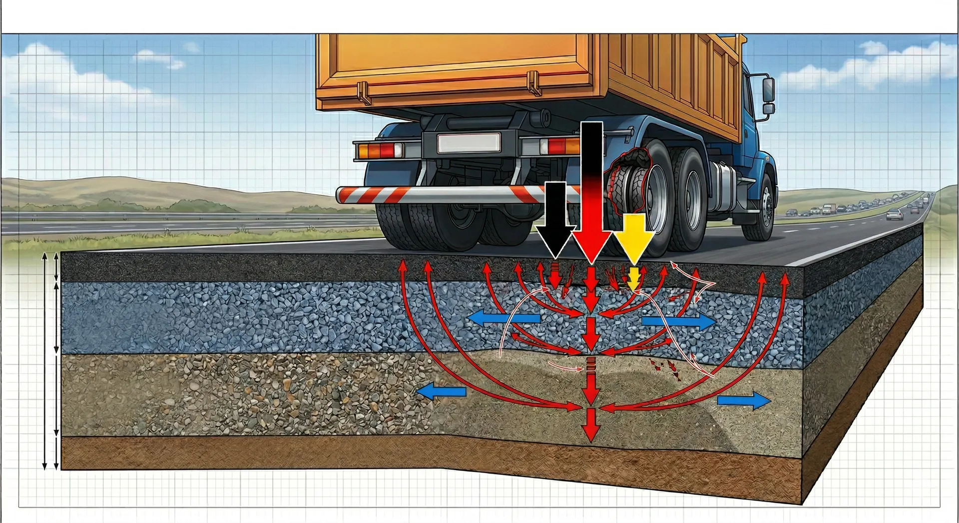
Pavement Engineering
Structural evaluation, deflectometry and design of rigid and flexible pavement structures.
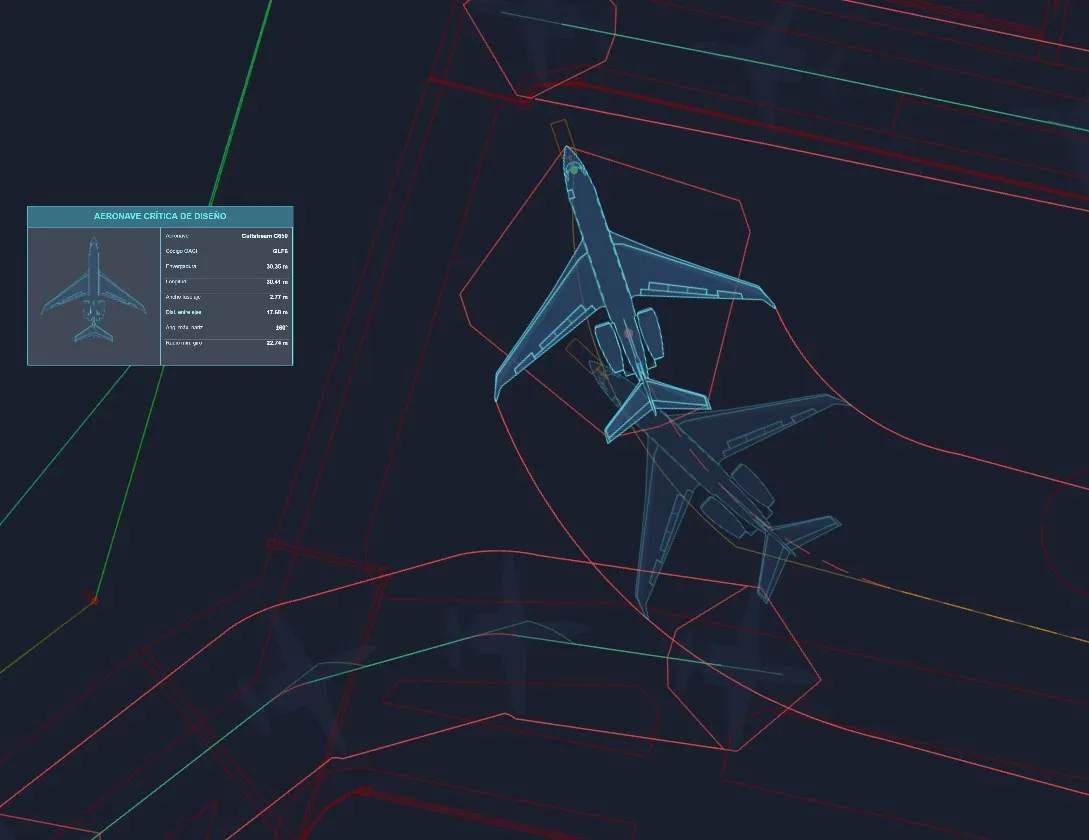
Airports, Hangars & Runways
Airside infrastructure engineering: runways, taxiways, aprons and hangars under ICAO and Paraguay’s DINAC regulations.
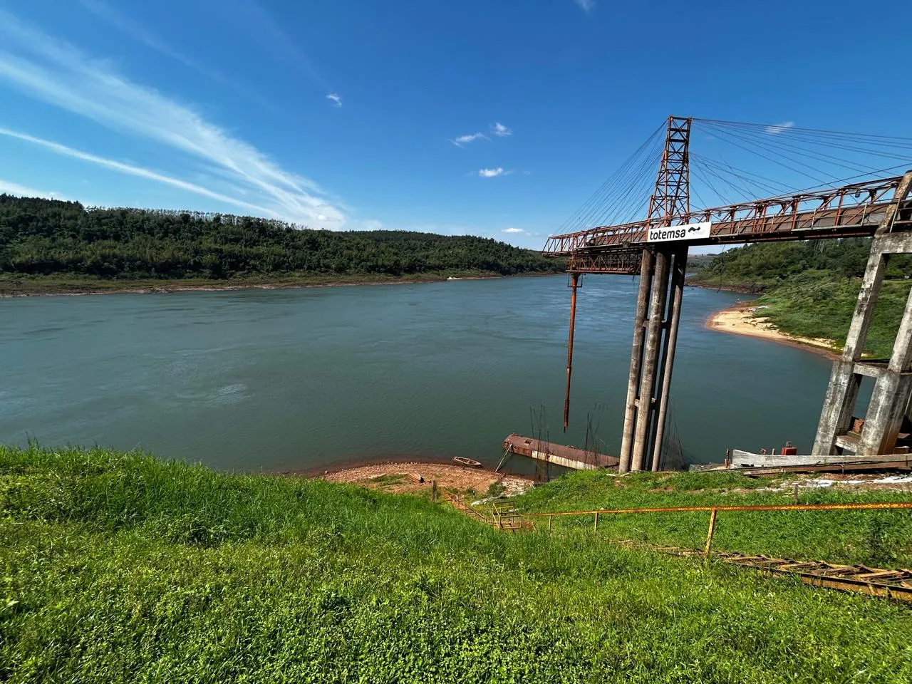
Ports & Waterways
Port engineering studies on the Paraná river, coordination across disciplines and technical solutions for loading infrastructure.
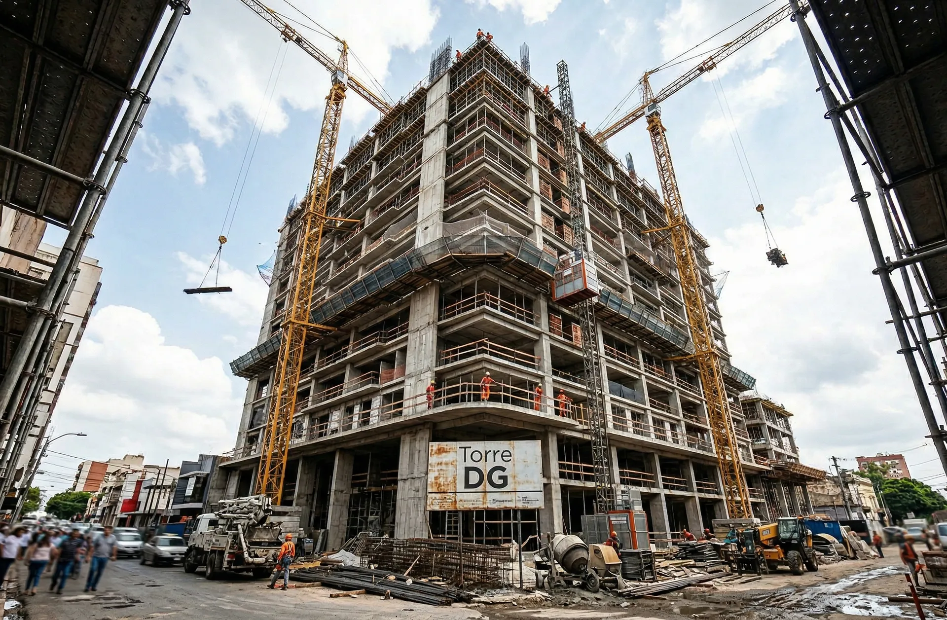
Residential Development
The technical arm of residential development: concept and detailed design, project management, construction and supervision of mid- and large-scale buildings.
What we bring to a project
Proprietary tooling and high-resolution data, so every project decision rests on something you can verify.
Accuracy from day one
High-resolution geospatial survey producing digital terrain models, orthomosaics and point clouds. The project’s technical baseline is set with measured data, not assumptions carried forward.
Visibility while it is still buildable
Live progress tracking, early warning on deviations, and reporting written for the person who has to decide. An owner abroad sees the real state of the site without flying in.
Analysis with tools we built
We develop our own calculation tools per discipline, calibrated against real data from projects delivered in Paraguay. Local accuracy, not a generic template.
Puerto Torocuá — Engineering Studies
Assessment of port conditions on the Paraná river. Engineering studies, coordination across disciplines and technical solutions for loading infrastructure.

Ten years giving technical clarity to complex projects
DG Ingeniería is a Paraguayan civil engineering firm that works on the owner’s side. We combine analysis, measured data and technical coordination across every stage of an infrastructure project, with a core team of specialists and a bench of professionals brought in as each project requires.
- Direct contractor to multilateral institutions (IDB, CAF)
- Specialist bench scaled to the size of the project
- One method throughout: data, judgment and control at every stage
- Projects delivered across multiple regions and contexts
"Every project decision deserves technical clarity. That is what we deliver."
Evaluating a project in Paraguay?
From site feasibility through construction control. Tell us what you are assessing and we will tell you what it actually takes here.